Historical Atlas of Hessen
125 Treffer in 125 Dokumenten
Displaying 1 through 10
-
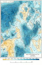
- Record ID
- 1
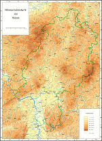
- Execution
- Kartenentwurf: Hessisches Landesvermessungsamt · 1 : 600000
-
- Record ID
- 2
- Execution
- Kartenentwurf: Matheis, J. · 1 : 1000000
-
- Record ID
- 3
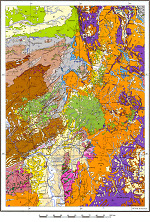
- Execution
- Kartenentwurf: Gunzert, G.; Michels, F.; Matheis, J. · 1 : 500000
-
- Record ID
- 4
- Execution
- Kartenentwurf: Manig, M. · 1 : 1200000
-
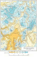
- Record ID
- 5
- Execution
- Kartenentwurf: Brose, K. · 1 : 1200000
-
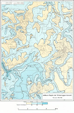
- Record ID
- 6
- Execution
- Kartenentwurf: Schnelle, F. · 1 : 1200000
-
- Record ID
- 7
- Execution
- Kartenentwurf: Schnelle, F. · 1 : 1200000
-
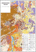
- Record ID
- 8
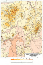
- Execution
- Kartenentwurf: Schönhals, E.; Hessisches Landesamt für Bodenforschung · 1 : 600000
-
- Record ID
- 115
- Execution
- Kartenentwurf: Müller, Karl-Heinz
-
- Record ID
- 116
- Execution
- keine Angabe